Translate this page:
| Pincode | 798626 |
| Name | Pangsha B.O |
| District | Tuensang |
| State | Nagaland |
| Status | Branch Office(Delivery) |
| Head Office | Kohima H.O |
| Sub Office | Noklak S.O |
| Location | Noklak Taluk of Tuensang District |
| Telephone No | Not Available |
| SPCC | TUENSANG-798612 |
| Department Info | Nagaland Division North Eastern Region North Eastern Circle |
| Address | 798626, India |
| Services | |
| Indian Postal Code System Consists of Six digits. The first to digits represent the state, the second two digits represent the district and the Third two digits represents the Post Office.In this case the first two digits 79 represents the state Nagaland, the second two digits 86 represent the district Tuensang, and finally 26 represents the Post Office Pangsha B.O. Thus the Zip Code of Pangsha B.O, Tuensang, nagaland is 798626 | |

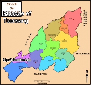
Tuensang (Pron:/ËŒtjuËÉ™nˈsæŋ/) is a town in Nagaland, India. It is the headquarters of the Tuensang district, the easternmost and the largest district of Nagaland, bordering with Myanmar. The town was founded in 1947 for the purpose of administrating the erstwhile North Eastern Frontier Agency (NEFA) that comprised the present day Tuensang, Mon, Longleng and Kiphire districts. Nowadays, these four districts combined together are also known as Eastern Nagaland.
The Tuensang area was originally made up of all the present four districts of Eastern Nagaland. Even after the British conquest of India, the Tuensang tribal region remained unadministered due to lack of sufficient men and money. However in 1902, the area was brought under the nominal control of the British. It was called Tribal Area and was administered by the Governor General of India. In 1948, a separate division called Tuensang Administrative Circle was created<More Info